Village Info
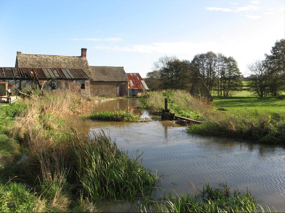
Barford St. Michael and Barford St. John, two picturesque villages, are situated around 7 miles south of Banbury separated by the river Swere, the villages are about a quarter of a mile apart. From Banbury take the A361 to Bloxham, beyond Bloxham there are signposts for The Barfords. A narrow bridge now spans the river, which was once crossed by a ford, and it is likely Barford is derived from the common name Barleyford, as in a ford across a stream or river used at harvest time.
In 1086 Barford St. Michael was know as Bereford, and by around 1250 as Bereford Sancti Michaelis. More than 250 homes are to be found in the two villages following rapid growth during the last few decades. Yet buildings such as the local bakehouse and village school have long since become private residence leaving only basic amenities in Barford St. Michael including a post office and general stores at Manor Farm, which was mentioned in the Domesday book, and a flourishing public house – The George Inn. The village hall, built in the 1930s, is the hub of village activity, and is usually fully booked by local groups and organisations.
Each village is home to a small church community. The small church of St. John dates back to medieval times with a quirky tower and porch by the Victorian architect George Edmund Street. The church in Barford St. Michael is sited on a secluded mound on the edge of the village. It is almost all Norman except for the south aisle which was added in the 13th century, and features a stunning 12th century porch. The Free Methodist chapel in St. Michael was built by local craftsmen in the 19th century and is now a private house.